


Zur Navigation springen
Zur Suche springen

Größe der PNG-Vorschau dieser SVG-Datei: 424 × 599 Pixel. Weitere aus SVG automatisch erzeugte PNG-Grafiken in verschiedenen Auflösungen: 170 × 240 Pixel | 340 × 480 Pixel | 544 × 768 Pixel | 725 × 1.024 Pixel | 1.450 × 2.048 Pixel | 924 × 1.305 Pixel
Originaldatei (SVG-Datei, Basisgröße: 924 × 1.305 Pixel, Dateigröße: 785 KB)
![]()
Diese Datei und die Informationen unter dem roten Trennstrich werden aus dem zentralen Medienarchiv Wikimedia Commons eingebunden.
![]()
Beschreibung
| Beschreibung |
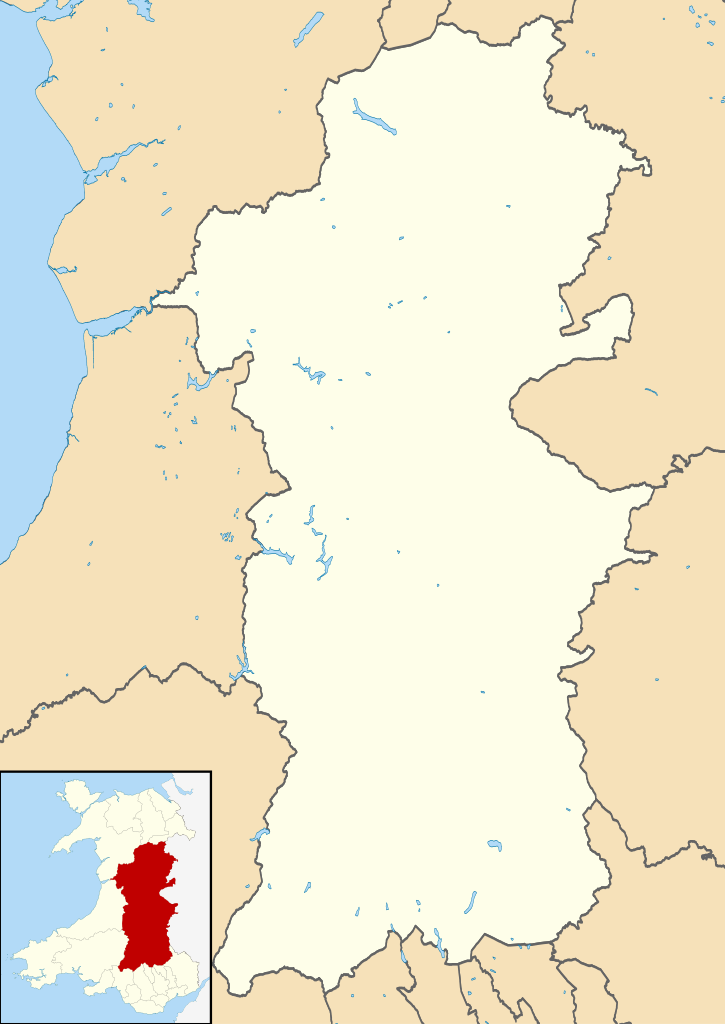
Blank map of Powys, UK with districts shown. Equirectangular map projection on WGS 84 datum, with N/S stretched 165% Geographic limits:
|
| Datum | |
| Quelle | Ordnance Survey OpenData. Most data from Boundary-Line product. Lake data from Meridian 2 product. Inset derived from File: United Kingdom location map.svg by NordNordWest. |
| Urheber | Nilfanion, created using Ordnance Survey data |
| Genehmigung (Weiternutzung dieser Datei) |
Diese Datei ist unter der Creative-Commons-Lizenz „Namensnennung – Weitergabe unter gleichen Bedingungen 3.0 nicht portiert“ lizenziert. Namensnennung: Contains Ordnance Survey data © Crown copyright and database right
|
Dateiversionen
Klicke auf einen Zeitpunkt, um diese Version zu laden.
| Version vom | Vorschaubild | Maße | Benutzer | Kommentar | |
|---|---|---|---|---|---|
| aktuell | 11:02, 4. Aug. 2010 | | 924 × 1.305 (785 KB) | Nilfanion | alter inset - Wales not UK |
| 21:02, 1. Aug. 2010 |  | 924 × 1.305 (824 KB) | Nilfanion | {{Information |Description=Blank map of Powys, UK with districts shown. Equirectangular map projection on WGS 84 datum, with N/S stretched 165% Geographic limits: *West: 4.22W *East: 2.82W *North: 52.92N *South: 51.72N |Source=[[w:Ordnance S |
Dateiverwendung
Die folgenden 5 Seiten verwenden diese Datei: